Drone Risk Austria
New tool to enable safer drone missions
Automated Flight Management taking weather as a risk factor into consideration
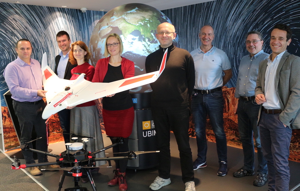
In the project “Drone Risk Austria” the University of Applied Sciences (FH) Carinthia together with the private weather service provider UBIMET, Austro Control and FREQUENTIS will develop a new risk assessment tool for drone flights. Digital geodata as well as weather data will play a key role.
Villach, 18.11.2019 – The sky above us is pretty busy. In Austria alone there are currently 100,000 unmanned aerial vehicles (UAS), in the EU about 1.5 million. Commercial air taxis, urgent medical supply transports, infrastructure inspections, water surveys, agricultural apps and parcel drones are becoming part of everyday life.
“Integrating drones into airspace requires highly automated air traffic management as well as assessing the risk of drone operations,” explains Michael Holzbauer, an air traffic control specialist at FREQUENTIS. The EU is currently working on automating air traffic management (UTM – UAS Traffic Management) to provide as many drones as possible with safe access to European airspace. In June 2019, new legislation for all member states concerning this issue was passed.
Air traffic management for drones
In the project “Drone Risk Austria”, which was launched in November, the University of Applied Sciences (FH) Carinthia, together with the private weather service UBIMET, Austria’s air traffic control organisation Austro Control and FREQUENTIS, will develop an online platform to enable assessing the risk of drone missions in accordance with relevant EU regulations. Eventually, the system will provide automated digital risk information to an air traffic management (ATM) for drones.
Risk factors ground – air – weather
In addition to evaluating the probability of a collision with an aircraft (aerial risk) or an object on the ground (ground risk), the weather risk plays an essential factor in the operational planning of drone flights. “A storm or a thunderstorm may prevent a drone flight. The influence of weather may vary greatly depending on the size and weight of the flying object”, explains Gernot Paulus, project manager of “Drone Risk Austria” at the University of Applied Sciences (FH) Carinthia.
No-fly zones through geofencing
The task of the interdisciplinary consortium will be to integrate geodata and weather data into the risk assessment of a drone mission. “Defining no-fly zones for drones on weather-based geofencing is particularly important,” says UBIMET CEO and co-founder Manfred Spatzierer, who also leads the company’s R&D department. “It’s about staking out areas that are too risky for drone missions correlating geodata and highly precise weather data,” says Spatzierer.
Dynamic data bubble
“Ideally, the drone is embedded in a sphere of digital real-time risk data to perfectly integrate the ground, air and weather conditions into route management at any point in its trajectory,” Paul outlines the vision of “Drone Risk Austria”. In doing so, this project substantially contributes to a consistent, safe European airspace for drones (U-Space), strengthening the safety of operations and protecting our population.
“Drone Risk Austria” is funded by the Federal Ministry of Transport, Innovation and Technology (BMVIT) as part of the FTI program “Take Off”. The total project volume is 238,344 €. Project support and funding is provided by the Austrian Research Promotion Agency FFG (Forschungsförderungsgesellschaft).


UNIQA UBIMET Severe Weather Report 2017